
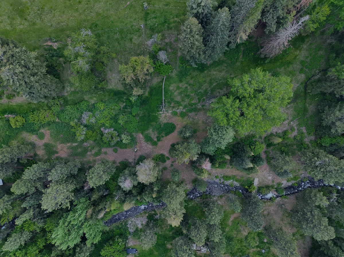
PROFESSIONAL AGRICULTURAL DRONE & GEOSPATIAL SOLUTIONS
JAXEN CREEK DRONE SERVICES, LLC
Advanced aerial mapping, multispectral analysis, thermal imaging, inspections, and professional drone services throughout Eastern Oregon.
FAA Part 107 Licensed • Fully Insured • Baker City, Oregon
PROFESSIONAL DRONE SERVICES
AERIAL DATA. PRACTICAL INSIGHT. BETTER DECISIONS.
Jaxen Creek Drone Services, LLC provides professional aerial data collection, mapping, imaging, and inspection services for farms, ranches, businesses, property owners, and rural communities throughout Eastern Oregon.
From multispectral crop analysis and high-resolution mapping to thermal inspections and aerial media, we combine advanced drone technology with practical field experience to deliver information our clients can put to work.
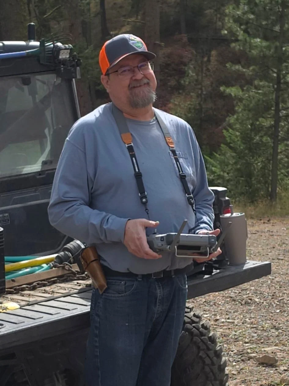
ADVANCED IMAGING TECHNOLOGY
Modern drone technology can collect information far beyond a standard aerial photograph. Jaxen Creek Drone Services combines high-resolution visual, multispectral, and thermal imaging to document conditions, identify areas of interest, and provide useful information for field-level decision making.
MORE THAN AN AERIAL VIEW
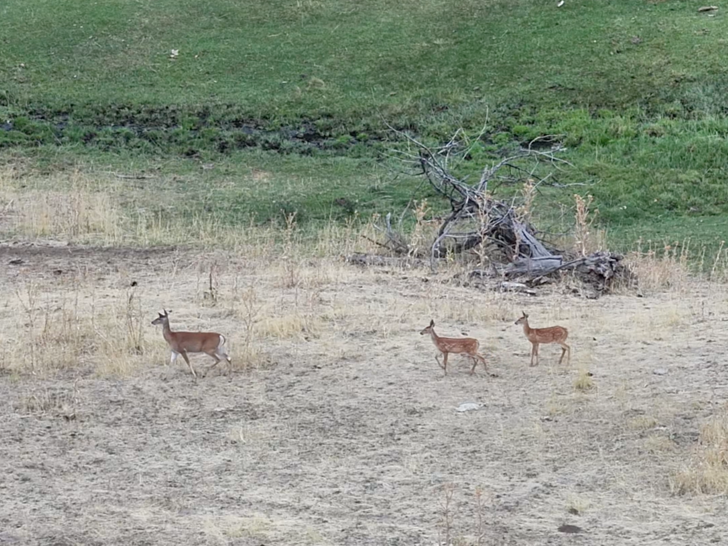
VISUAL
HIGH-RESOLUTION IMAGING
High-resolution visual imagery provides detailed aerial documentation for livestock monitoring, inspections, property assessment, mapping, and other applications where a clear view from above adds valuable context.
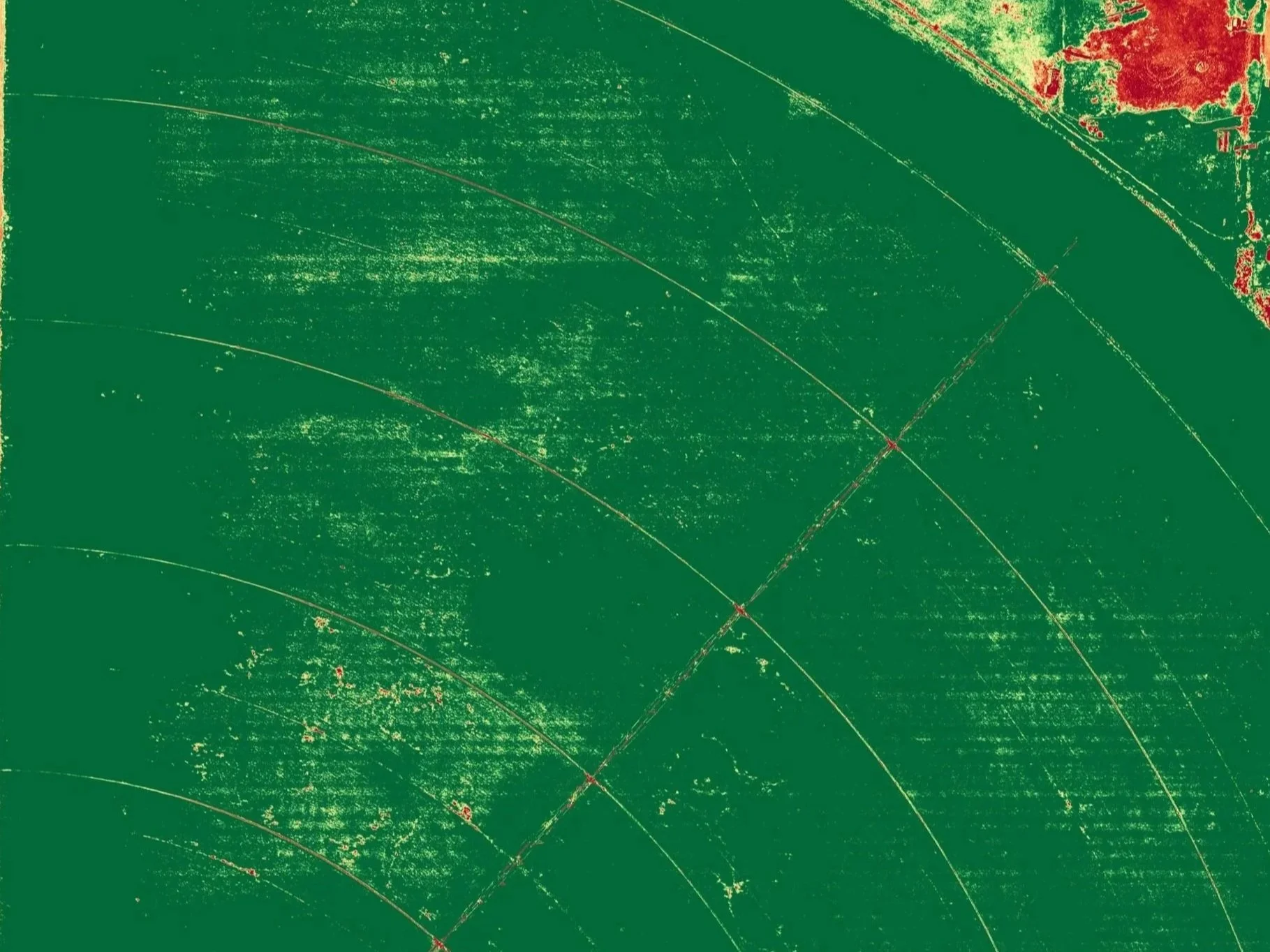
MULTISPECTRAL
VEGETATION ANALYSIS
Multispectral imagery measures reflected light beyond standard RGB photography, supporting vegetation analysis, crop and pasture monitoring, and identification of spatial variability.
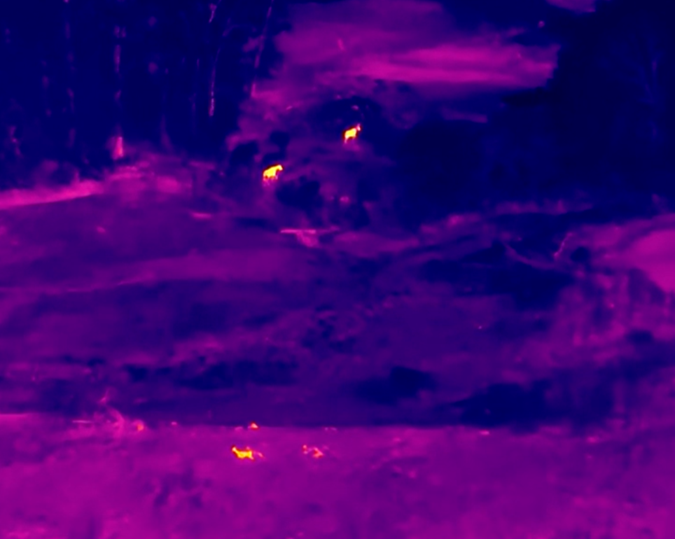
THERMAL
THERMAL INTELLIGENCE
Thermal imaging detects differences in emitted infrared radiation, helping reveal heat signatures for livestock monitoring, search operations, infrastructure inspection, and other specialized applications.
OUR SERVICES
AERIAL SOLUTIONS BUILT AROUND YOUR OBJECTIVES
Every project starts with the question the client needs answered. We select the aircraft, sensors, flight plan, and deliverables to match the objective—not simply the technology.
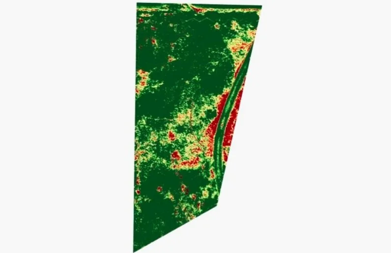
AGRICULTURE & MULTISPECTRAL
Multispectral mapping and vegetation analysis for crops, pasture, irrigation assessment, seasonal monitoring, and field variability.
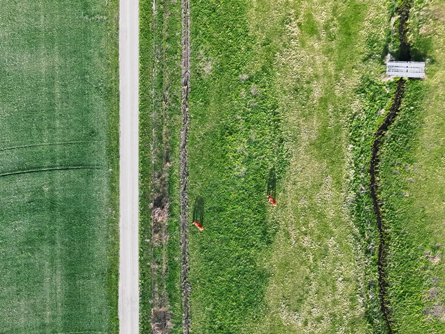
RANCH & LIVESTOCK
Aerial support for livestock monitoring, pasture assessment, fence and infrastructure inspection, drainage documentation, and recurring operational monitoring.
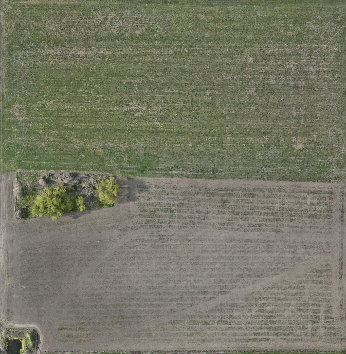
MAPPING & GEOSPATIAL
High-resolution orthomosaics, property and infrastructure mapping, measurements, and GIS-compatible data for planning, documentation, and analysis.
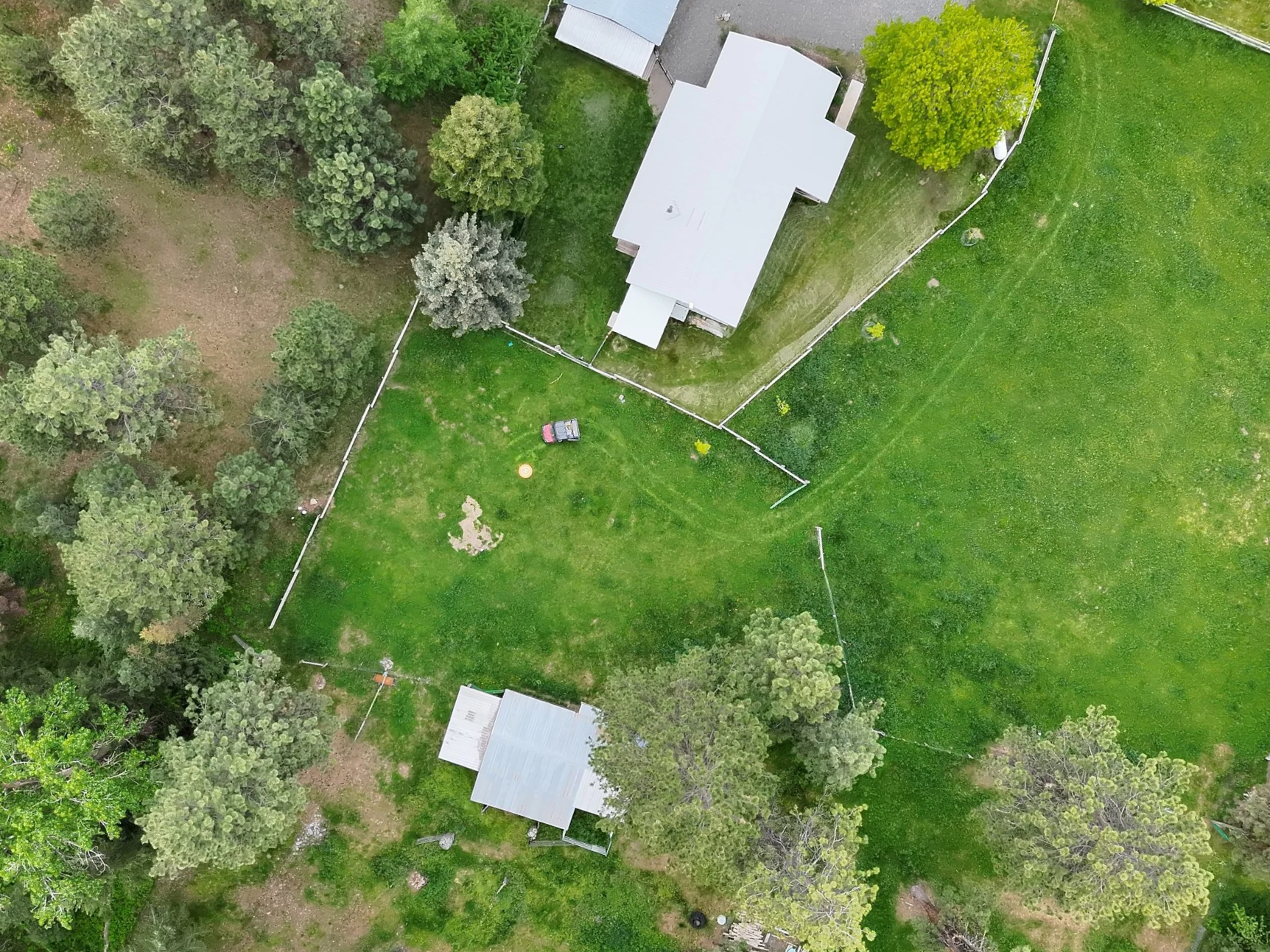
AERIAL MEDIA
Professional aerial photography and video for real estate, rural properties, commercial projects, resorts, developments, and marketing.
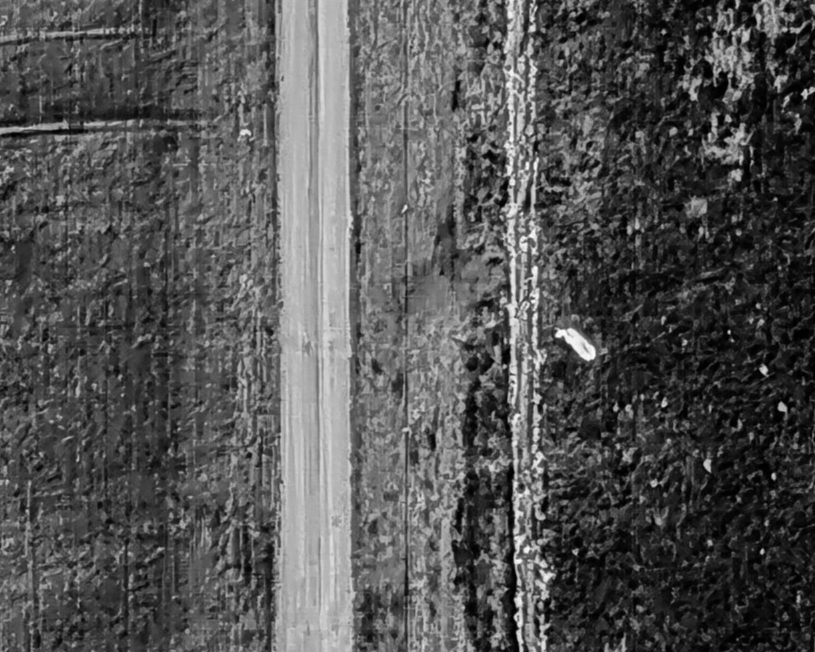
THERMAL & INSPECTION
Thermal and high-resolution visual imaging for livestock monitoring, infrastructure assessment, heat anomaly investigation, and specialized inspection applications.
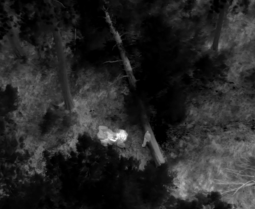
LOST PET SEARCH
Thermal and high-resolution visual aerial reconnaissance to help search large, remote, wooded, or difficult-to-access areas for missing pets.
FEATURED PROJECT
REAL DATA.
MEASURABLE CHANGE.
PRACTICAL INSIGHT.
SEASONAL CROP HEALTH MONITORING
Grass Hay Field • Eastern Oregon
Repeated aerial surveys provide more than a single snapshot—they create a record of how field conditions change throughout the growing season.
Jaxen Creek Drone Services collected multispectral imagery during separate May and August flights and processed the data for comparative NDVI analysis. The resulting maps provide a consistent spatial view of vegetation vigor and field variability, helping direct attention to areas that may warrant closer field evaluation.
PROJECT TYPE:
Multispectral Crop Analysis
FLIGHT ALTITUDE:
200ft AGL
MONITORING PERIOD:
May-August 2026
DELIVERABLE:
Comparative Crop Health Report
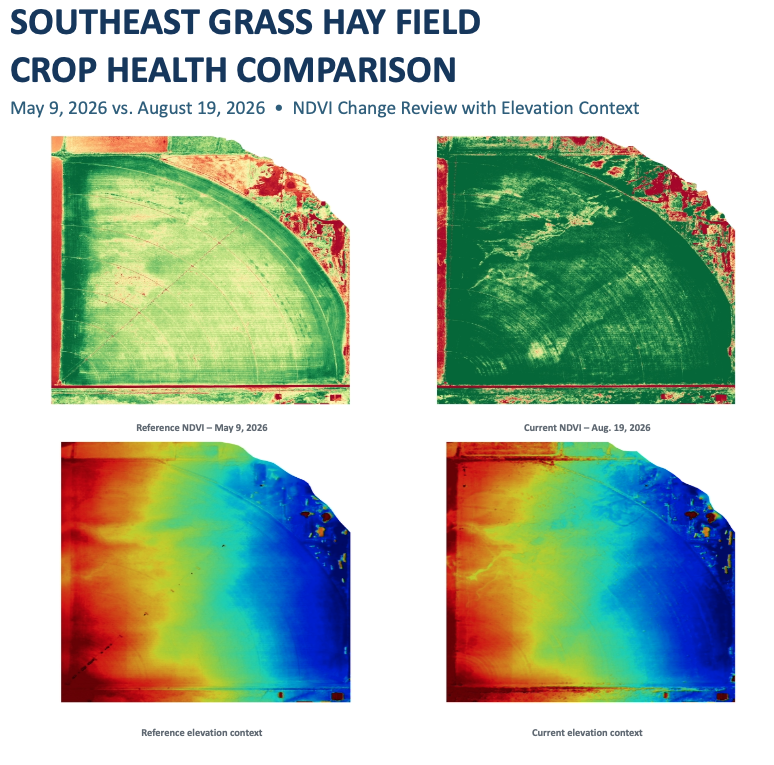
WHY REPEAT MAPPING?
Consistent surveys allow producers to evaluate changes across the growing season and identify areas where additional field investigation may be valuable.
WHY JAXEN CREEK DRONE SERVICES
LOCAL KNOWLEDGE. PROFESSIONAL CAPABILITY.
Jaxen Creek Drone Services combines professional flight operations, specialized imaging technology, and practical field experience to provide dependable aerial services throughout Eastern Oregon.
FAA PART 107 LICENSED
Commercial drone operations conducted by an FAA Part 107 licensed Remote Pilot with safety, airspace, and regulatory requirements in mind.
FULLY INSURED
Professional drone operations backed by commercial insurance appropriate for the services we provide.
SPECIALIZED TECHNOLOGY
Visual, multispectral, and thermal imaging capabilities allow the aircraft and sensor to be matched to the mission.
EASTERN OREGON FOCUSED
Local service for farms, ranches, property owners, businesses, and rural communities throughout Eastern Oregon.
BASED IN BAKER CITY • SERVING EASTERN OREGON
LOST PET AERIAL SEARCH
When a pet goes missing, large search areas, difficult terrain, vegetation, and limited visibility can make searching on foot challenging.
Jaxen Creek Drone Services uses thermal imaging and high-resolution visual cameras to provide an aerial perspective and help search areas that may be difficult to cover efficiently from the ground.
SEARCH SMARTER.
SEARCH FROM ABOVE.
THERMAL + VISUAL IMAGING
Thermal detection paired with high-resolution visual reconnaissance.
STRATEGIC SEARCH PLANNING
Search areas and flight patterns developed around the pet's last known location, sightings, terrain, and available information
REAL-TIME COORDINATION
Potential areas of interest can be evaluated and communicated during the search.
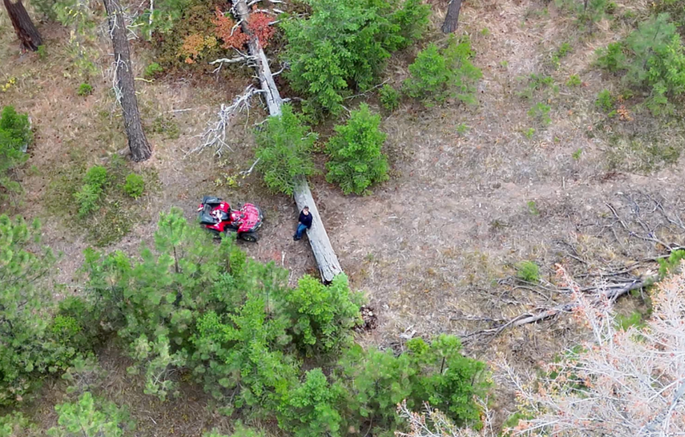
VISUAL
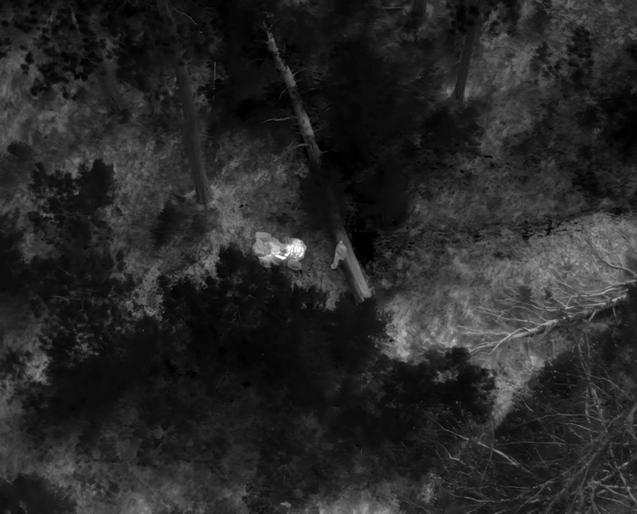
THERMAL
NEED HELP FINDING A MISSING PET?
Contact Jaxen Creek Drone Services to discuss the pet's last known location, recent sightings, terrain, and current search conditions.
SEARCH PACKAGES
CHOOSE THE SEARCH THAT FITS YOUR SITUATION
Choose a focused initial search or reserve additional search time that can be divided across multiple deployments within the same general search area.
FOCUSED SEARCH
$300
UP TO 3 HOURS
1 deployment
Thermal + visual aerial search
Search planning & owner coordination
Up to 75 miles travel included
EXTENDED COVERAGE
EXTENDED SEARCH
$500
UP TO 6 HOURS
Up to 2 deployments
Thermal + visual aerial search
Search planning & owner coordination
Search time may be divided between deployments
Up to 75 miles travel included
COMPREHENSIVE SEARCH
$750
UP TO 10 HOURS
Up to 3 deployments
Thermal + visual aerial search
Search planning & owner coordination
Search time may be divided between deployments
Up to 75 miles travel included
Jaxen Creek Drone Services proudly offers 10% off Lost Pet Search packages for active-duty military, veterans, and emergency responders.
Travel up to 75 driving miles from Baker City, Oregon is included with each included deployment. Additional round-trip mileage beyond 75 miles is charged at $1.00 per mile.
IMPORTANT SEARCH INFORMATION
Drone-based searches cannot guarantee that a missing pet will be located or recovered. Search effectiveness may be affected by terrain, vegetation, weather, ambient temperature, animal movement, airspace restrictions, visibility, and other operational conditions. All flights are subject to FAA regulations and safe operating conditions.
HAVE A PROJECT IN MIND?
LET’S TALK ABOUT YOUR PROJECT.
Whether you need crop intelligence, property mapping, thermal inspection, aerial imagery, or another specialized drone solution, Jaxen Creek Drone Services can help determine the right approach for your project.