
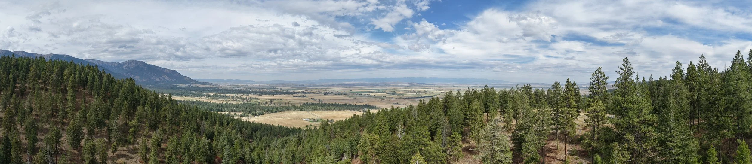
ABOUT JAXEN CREEK DRONE SERVICES
LOCAL KNOWLEDGE. ADVANCED AERIAL TECHNOLOGY.
Jaxen Creek Drone Services combines practical Eastern Oregon experience with modern drone, imaging, and geospatial technology to provide useful aerial information for farms, ranches, businesses, property owners, and communities throughout the region.
FAA Part 107 Licensed • Fully Insured • Baker City, Oregon
OUR STORY
BUILD IN EASTERN OREGON
Jaxen Creek Drone Services LLC was established in Baker City, Oregon, to bring professional drone and geospatial capabilities to the farms, ranches, businesses, property owners, and communities of Eastern Oregon.
JCDS was built around a straightforward idea: aerial technology is most valuable when it produces information people can actually use. A drone may be the tool in the air, but the real service is understanding the objective, collecting the right data, and delivering useful imagery, maps, observations, and information to the customer.
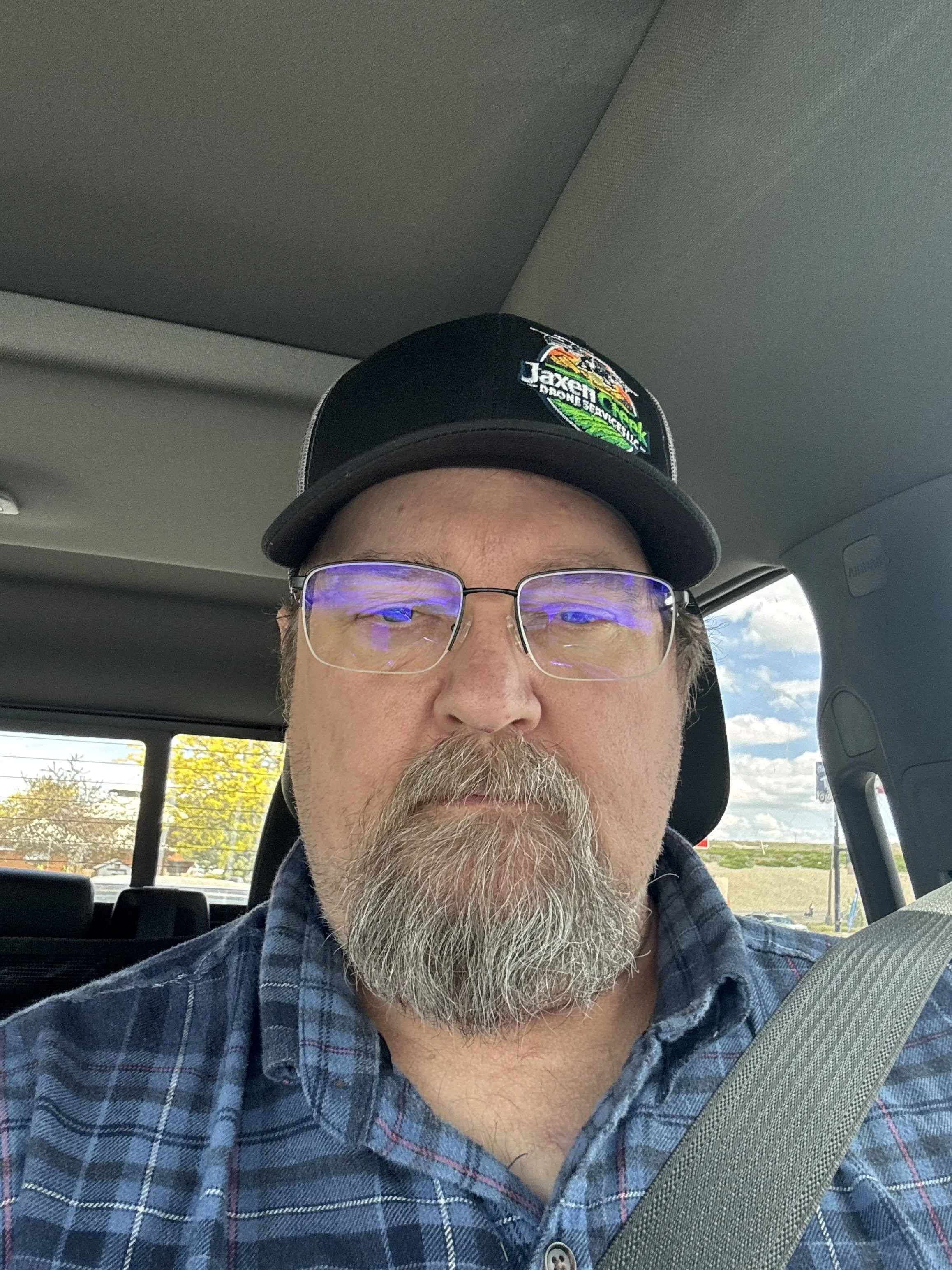
Owner and Remote Pilot in Command Derrick Pierce brings together a background in information technology and software engineering with practical familiarity with agriculture and ranching in Eastern Oregon. That combination shapes the way JCDS approaches each project—from flight planning and data collection to imagery, mapping, analysis, and final deliverables.
Today, JCDS supports a growing range of applications including agricultural imaging, multispectral crop analysis, thermal imaging, mapping and geospatial services, infrastructure inspections, aerial media, and thermal-assisted lost pet searches.
A PRACTICAL APPROACH
WHERE LOCAL EXPERIENCE MEETS TECHNOLOGY
EASTERN OREGON EXPERIENCE
Operating from Baker City means working in an environment where distance, terrain, weather, agriculture, livestock, seasonal conditions, and property access all matter.
JCDS brings familiarity with the farms, ranches, rural properties, and landscapes of Eastern Oregon to the planning of aerial operations. That local perspective helps us approach projects with an understanding of the environment in which our customers actually work.
TECHNICAL EXPERIENCE
A professional drone operation involves considerably more than flying an aircraft. JCDS combines aviation, imaging, software, data processing, mapping, and geospatial workflows to develop useful deliverables from information collected in the field.
Derrick's background in IT and software engineering supports a systematic, technology-driven approach to flight planning, data management, processing, quality control, and customer reporting.
HOW WE WORK
FROM OBJECTIVE TO DELIVERABLE
01 — UNDERSTAND THE OBJECTIVE
Every project begins with understanding what the customer needs to see, measure, inspect, document, or evaluate.
02 — PLAN THE OPERATION
We evaluate the site, airspace, terrain, conditions, equipment requirements, safety considerations, and appropriate collection method.
03 — COLLECT QUALITY DATA
Flights are conducted using equipment and collection parameters appropriate to the project rather than a one-size-fits-all approach.
04 — DELIVER USEFUL INFORMATION
Imagery and data are organized, processed, and presented in a form designed to help the customer understand the results and use them effectively.
PROFESSIONAL CAPABILITIES
THE RIGHT TECHNOLOGY FOR THE MISSION
JCDS maintains multiple aerial platforms because different projects require different sensors and capabilities. Rather than forcing every job into the same workflow, we select the aircraft, imaging system, and collection method appropriate to the objective.
THERMAL + HIGH-RESOLUTION IMAGING
Thermal and high-resolution visual imaging for search operations, inspections, livestock applications, infrastructure assessment, and other applications where temperature differences and detailed visual observation provide useful information.
MULTISPECTRAL IMAGING
Multispectral data collection for agricultural applications including crop and vegetation assessment, field variability analysis, seasonal monitoring, and plant-health mapping.
AERIAL IMAGING + MAPPING
High-quality aerial photography, video, mapping, documentation, and property visualization for agricultural, commercial, real estate, and other applications.
WHY JAXEN CREEK DRONE SERVICES?
PROFESSIONAL SERVICE. PRACTICAL RESULTS.
FAA PART 107 LICENSED
Commercial drone operations conducted by an FAA Part 107 licensed Remote Pilot.
FULLY INSURED
Professional operations backed by appropriate drone and business insurance coverage.
LOCAL & RESPONSIVE
Based in Baker City and focused on serving Eastern Oregon and surrounding communities.
TECHNOLOGY WITH PURPOSE
Equipment and data collection methods are selected around the customer's objective—not simply around what looks impressive from the air.
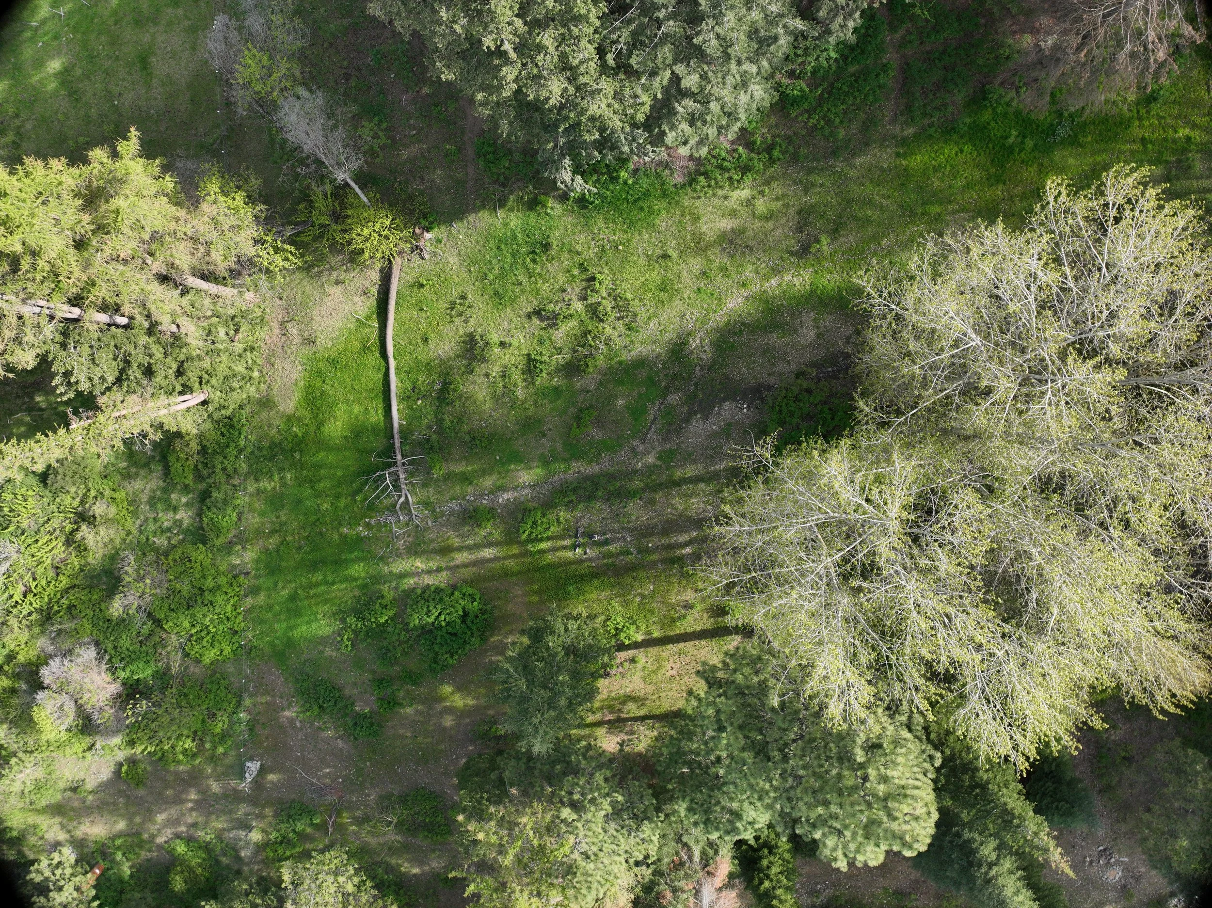
SERVING EASTERN OREGON
BASED IN BAKER CITY. BUILT FOR THE REGION.
Jaxen Creek Drone Services is based in Baker City and provides professional drone services throughout Eastern Oregon and surrounding areas.
Projects outside the immediate Baker City area are welcome. Travel requirements are evaluated based on project location, scope, and service type.
HAVE A PROJECT IN MIND?
Tell us what you're trying to accomplish. We'll help determine whether aerial imaging, mapping, thermal, multispectral, or other drone capabilities are appropriate for your project.